

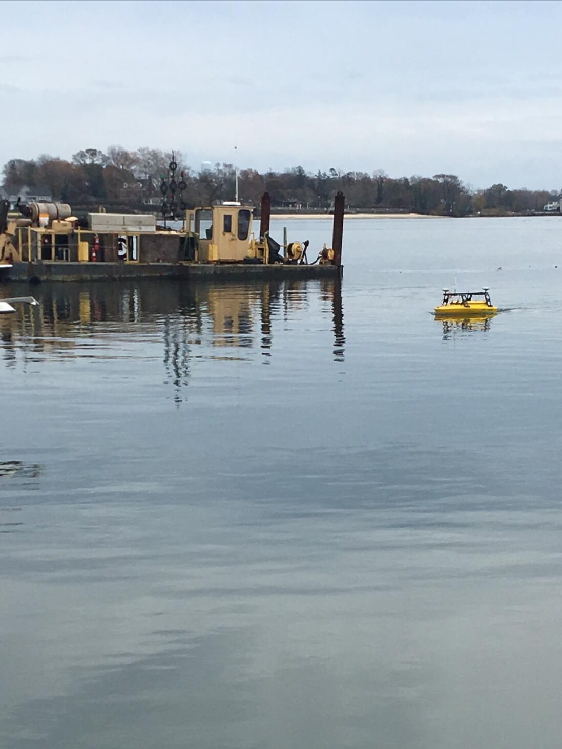
Hydrographic Surveying is the process in which you measure the distance between the top of the water to the sediment in a body of water. We utilize hydrographic surveys for all of our dredging projects for quality control and payment.
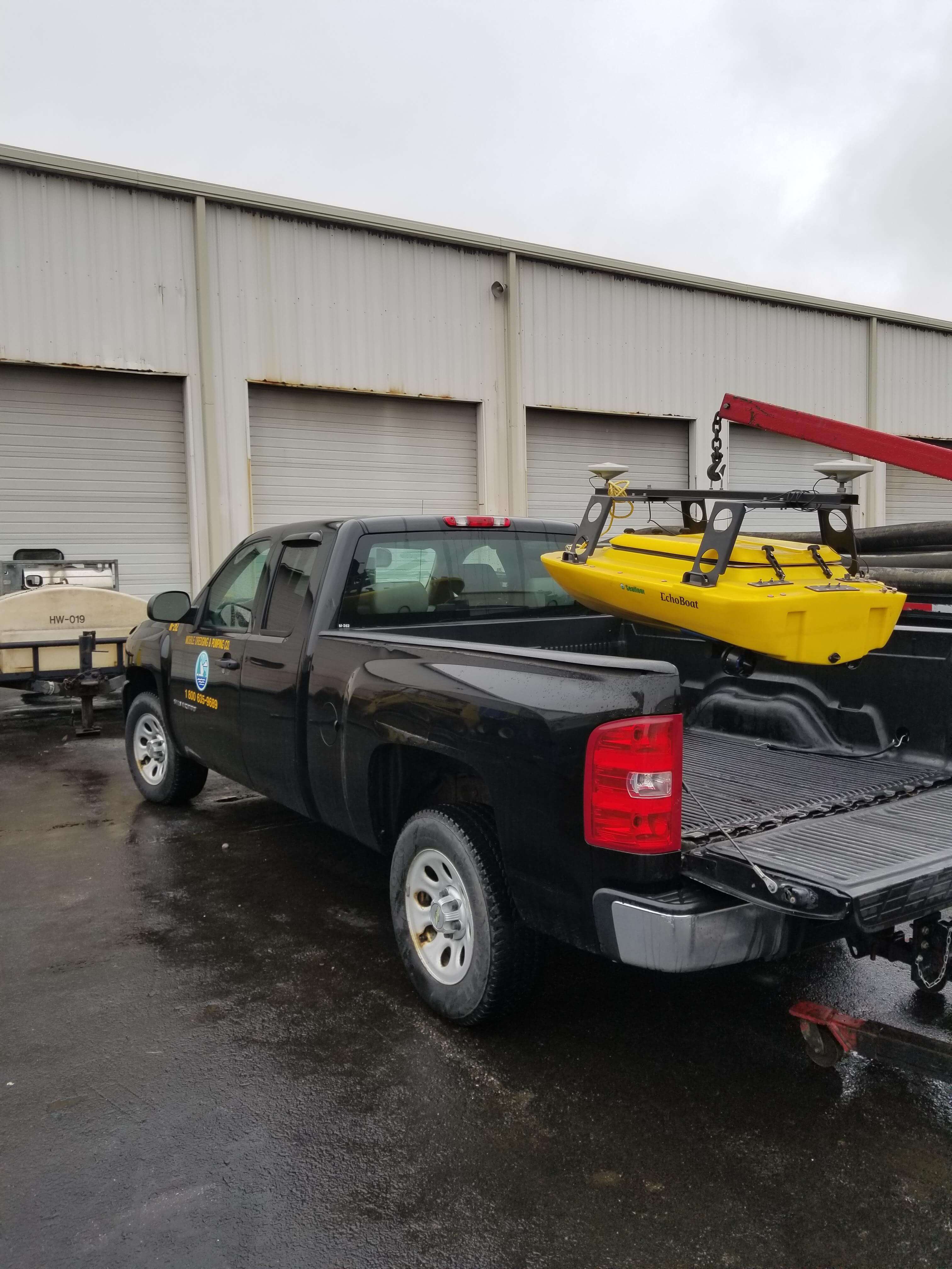
To perform the survey, we use a drone boat equipped with a multi-beam sonar to collect data. The multi-beam system provides a higher-quality product, 100% coverage, with more reliability and confidence than a single-beam system. These surveys allow us to properly map the area in any body of water that we may potentially dredge. Using a remote-control, we’re able to steer the drone boat around the body of water to collect the survey data.